Mt. Takao is the home of 1,598 kinds of plant which accounts for some 23% of all the plant life in Japan (https://www.takao599museum.jp/treasures/plants/?lang=en).
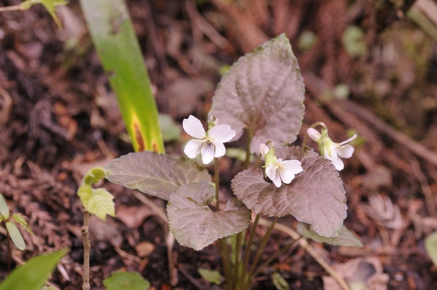
It is understood that some 60 kinds of new plant species have been discovered in Mt. Takao including Takao Sumire (Mt. Takao viola) that is named after the mountain.
In fact, Mt. Takao is sometimes called the “Mountain of Violets” where we can observe more than a dozen kinds of violet.
The flora of Mt. Takao belongs to the transitional area between the warm-temperate forest zone and the cold-temperate forest zone where the average annual temperature is about 13 degrees Celsius.
This is considered one of the main reasons for the abundance of some 1,600 various species of plant in this small area.
You can appreciate the significance of this number if you notice that there are only 1,859 kinds of plant life in the whole UK.
It should also be noted that across the mountain ridge of Trail 1 on the northern slopes of Mt. Takao represented by Trail 4, we see more deciduous broad leaf trees.
On the other hand, on the southern slopes of the mountain represented by Trail 3, we see more evergreen broad leaf trees.
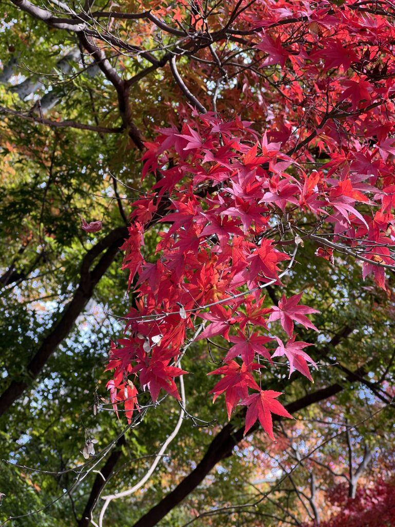
Deciduous broad leaf trees on the northern slopes largely consist of maple trees, zelkova trees, beech trees, etc. which typically grow in the cold-temperate forest zone.
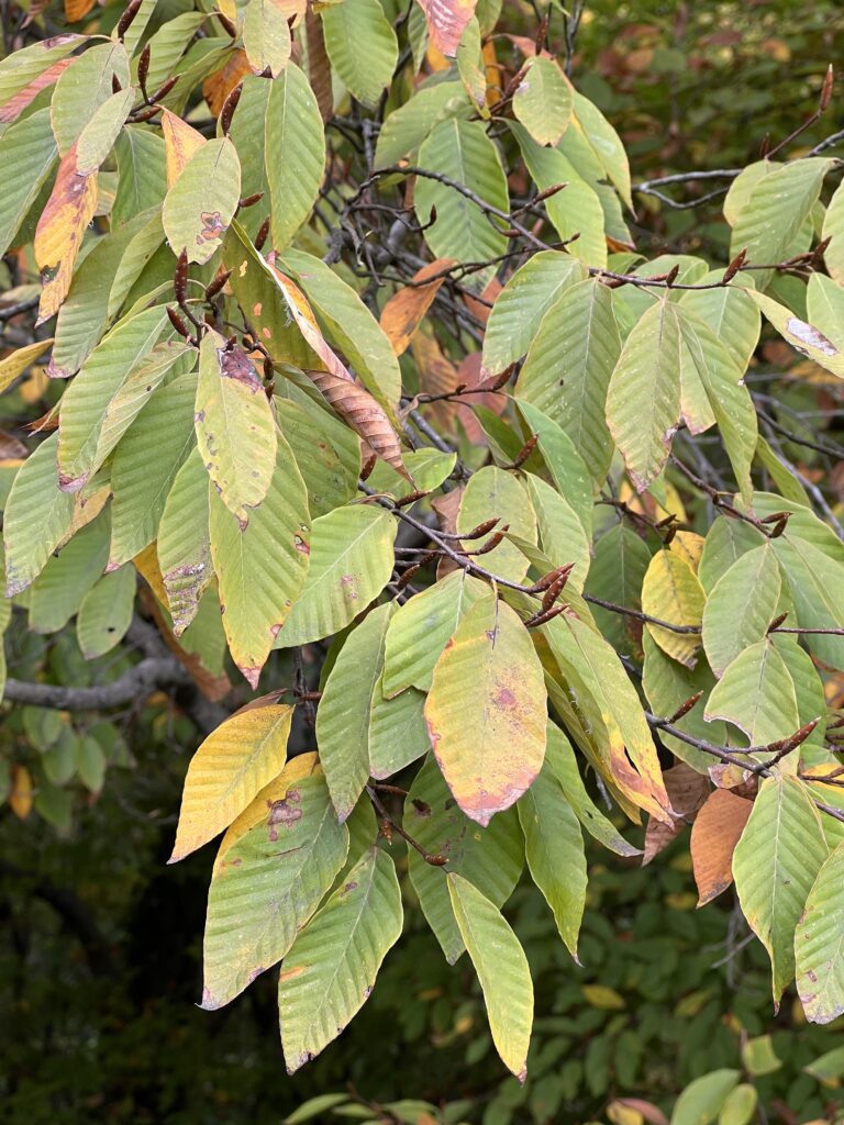
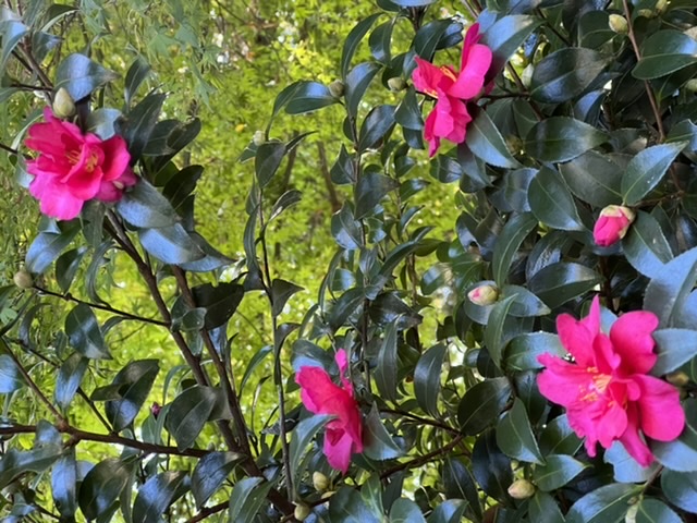
Evergreen broad leaf trees on the southern slopes largely consist of oak trees, camphor trees, camellia japonica, holly trees, Aucuba japonica, etc. which typically grow in the warm-temperate forest zone.
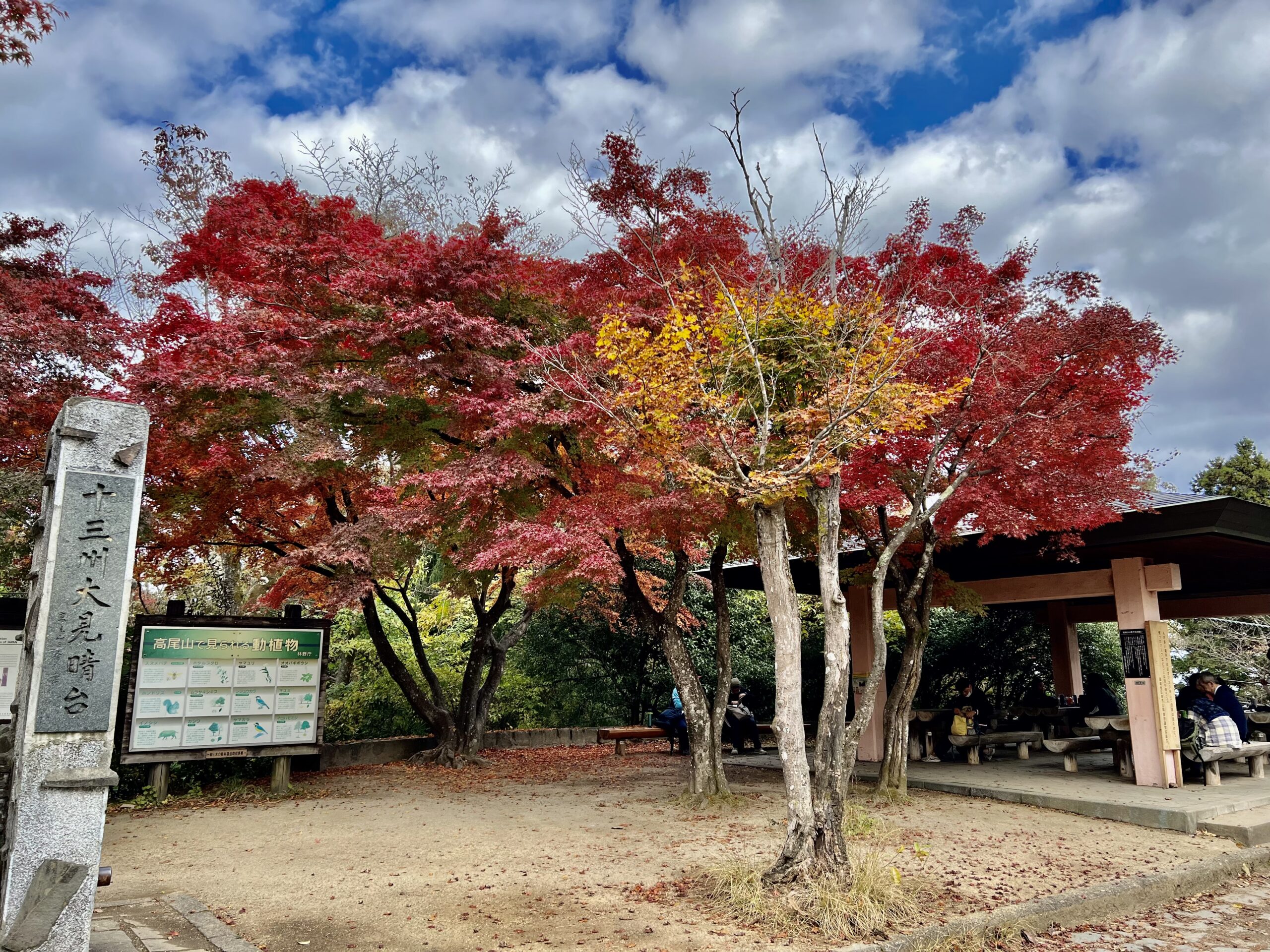
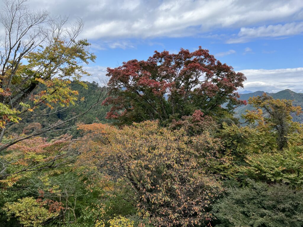
Like many other spots all over the country famous for their autumn leaves, Mt. Takao has a nice balance of evergreen and deciduous trees.
It’s this that creates the beautiful, multi-colored autumn scenery.
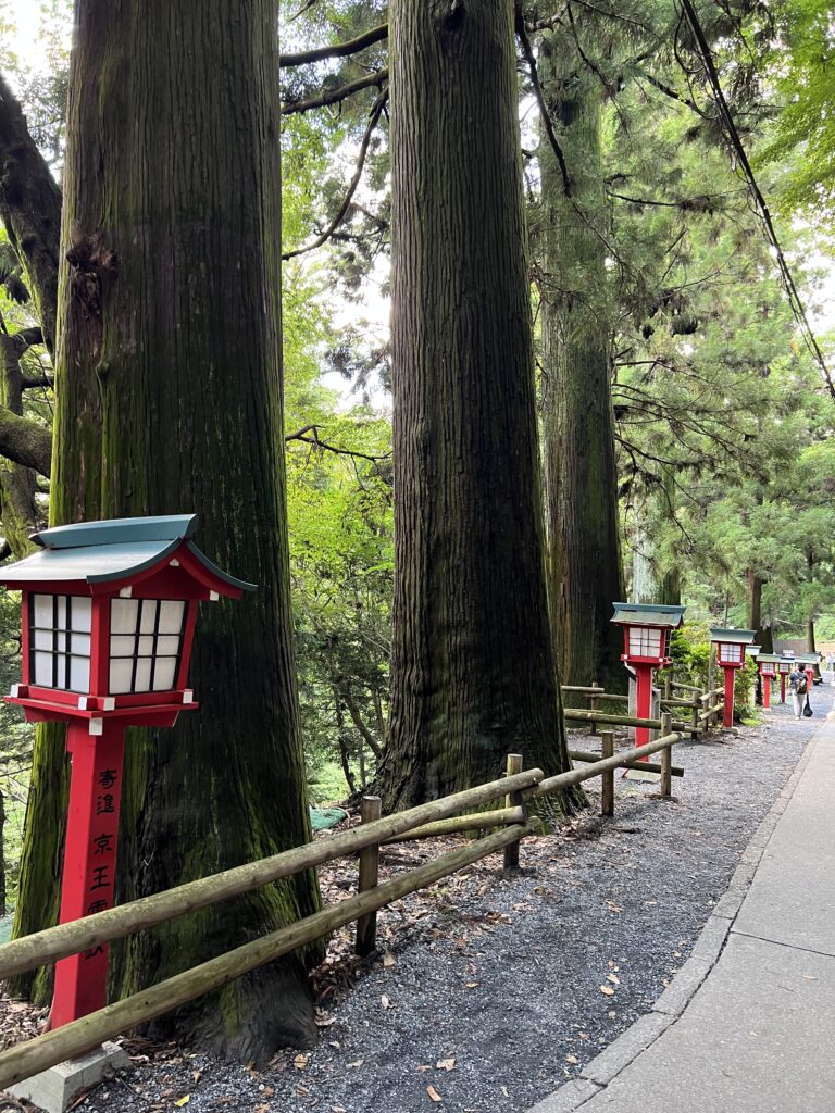
In this context, evergreen trees include temperate coniferous trees such as Japanese fir trees, Japanese hemlock, Japanese nutmeg, Japanese cypress, Japanese cedar, etc.
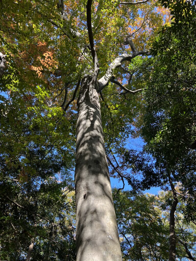
Mt. Takao is also known as the southern border of a habitat of white beech trees in terms of the horizontal distribution.
As you know, the temperatures become lower as altitude increases and as latitude increases.
The altitude of the peak of Mt. Takao is only 599 meters and it is located at 35.63 degrees north.
When it comes to white beech trees, “Shirakami Sanchi (Shirakami Mountain Range)” (https://whc.unesco.org/en/list/663/) is very famous.
It is the virgin forest of beech trees ranging from the southwest of Aomori Prefecture to the northwest of Akita Prefecture which is one of the largest virgin forests of beech trees in the world and has been listed as one of the UNESCO World Natural Heritage Sites in Japan being located at from 40.22 to 40.32 degrees north.
It is understood that the 16th century was the onset of a little ice age and that it lasted until the mid-19th century causing temperatures in the northern hemisphere to drop, which allowed white beech trees to grow here in Mt. Takao.
Due to the global warming, now it is highly unlikely that new seedlings of the white beech trees should grow in this area.
Consequently, most of some 90 white beech trees we can see here at Mt. Takao are 200 to 300 years old.
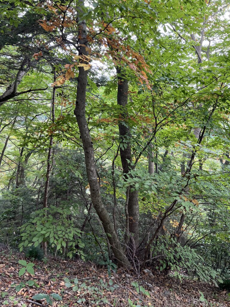
Instead, we see more black beech trees which feature multiple trunks as well as dark-colored bark.
The rich biodiversity of Mt. Takao also comes from a much higher-proportion of the natural forest of the mountain than the surrounding area.
This is mainly because Yakuo-in Temple had been under the patronage of Hojo clan, one of the most powerful feudal lords in the eastern Japan during the civil war period that started in the late 15th century and lasted for about 100 years.
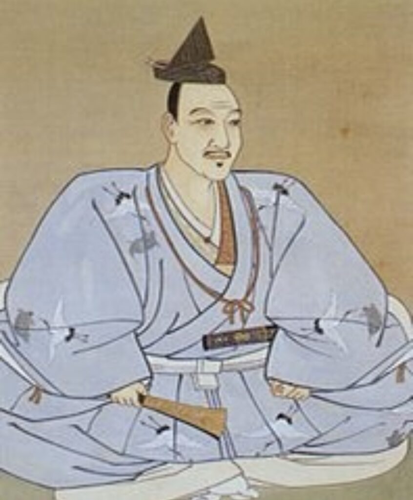
Hojo clan regarded this area as an important military base located along the border and protected Yakuo-in Temple prohibiting the act of cutting down the surrounding forest and otherwise.
In fact, there used to be their magnificent mountain castle called Hachioji Castle one of the biggest defensive structures ever built during the late civil war period on Mt. Fukasawa, more commonly known to locals as Shiroyama (literally, castle mountain) located north of Mt. Takao.
The castle now lies in ruins although in 1990 some stone walls, a bridge across a moat, and the entrance to the lord’s palace were rebuilt.
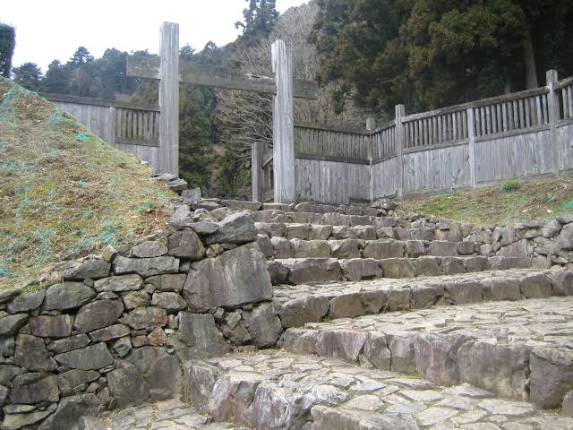
It has been designated as a national historic site since 1951.
The patronage of Hojo clan was taken over by the Tokugawa shogunate as the shogun’s demesne whereby the natural forest there had continuously been protected and preserved.
Even after the Meiji Restoration, this area has been preserved as Imperial Forest and now as National Forest.
Another reason for the rich biodiversity of Mt. Takao is its geological features.
The Japanese archipelago is located along two (2) continental plates which are the Okhotk Plate (a part of the North American Plate) and the Eurasian Plate, and two (2) ocean plates which are the Pacific Plate and the Philippine Sea Plate.
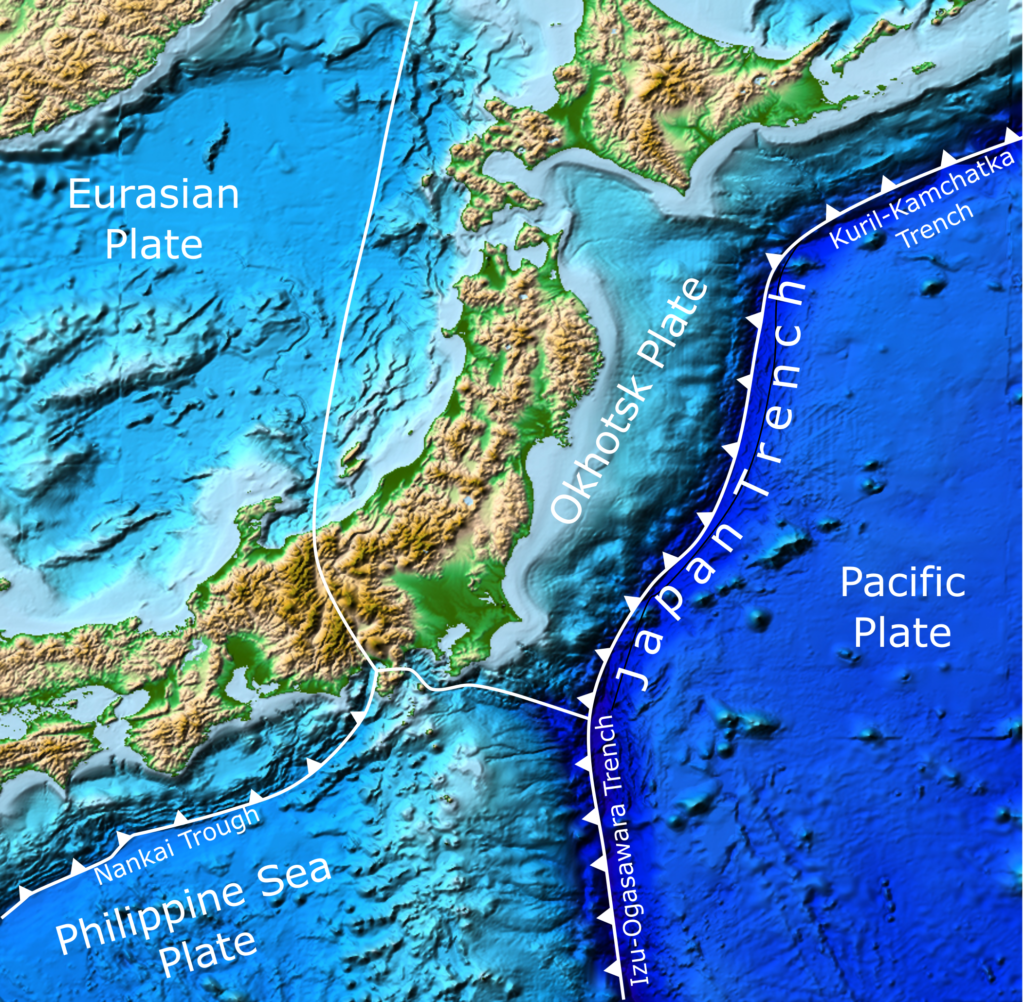
The location where two (2) plates meet is called a plate boundary.
Plate boundaries are commonly associated with geological events such as earthquakes and the creation of topographic features such as mountains, volcanoes, mid-ocean ridges, and oceanic trenches.
It is understood that the area where Mt. Takao is located was the bottom of the sea some 100 million years ago, and that Mt. Takao and surrounding mountains were formed by the sudden upheaval of the undersea ground.
Due to the plate movement, the direction of stratum in this area is almost vertical at an angle roughly between 70 and 80 degrees from horizontal.
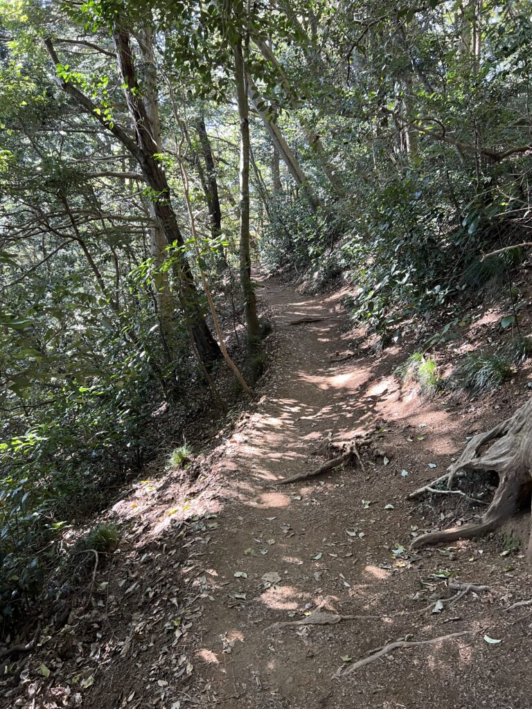
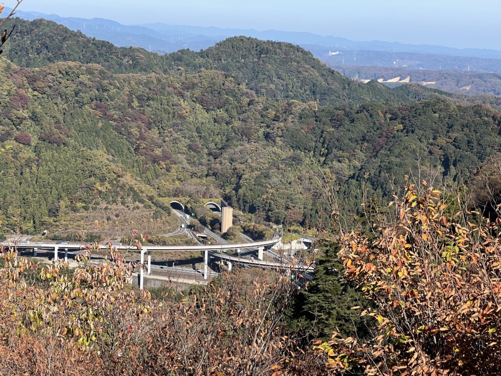
Along Trail 1, there are a lot of places where we can observe an exposure of the vertical strata.
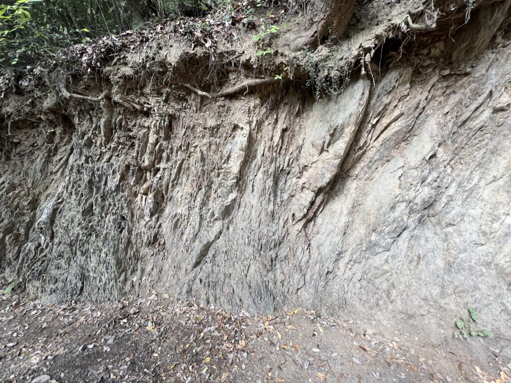
Although the land in this area consists of a hard-geological section with sand stone and clay stone constituting an alternation-of-strata structure, thanks to a dip of stratum which created a myriad of cracks and fissures on the land surface, the mountain has a high water-holding capacity which is very suitable for growth of various plants.
Let me discuss the fauna of Mt. Takao next time.